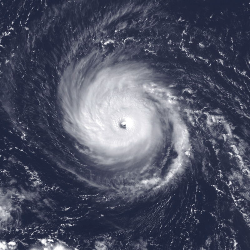
This research article focuses on Hurricane Fred, a notable storm from the 2009 hurricane season. One of the key aspects of Hurricane Fred was its easternmost formation as a major hurricane in the North Atlantic basin since the advent of satellite observations. Forming near the Cape Verde Islands on September 7, 2009, Fred gradually intensified despite moderate wind shear. By September 8, the storm had reached hurricane intensity and underwent rapid intensification, peaking as a strong Category 3 hurricane with winds of 120 mph (195 km/h) and a minimum pressure of 958 mbar (hPa; 28.29 inHg). However, increasing wind shear and dry air caused Fred to weaken shortly after reaching its peak intensity.
Introduction: Hurricane Fred emerged from a robust tropical wave on September 7, 2009, in close proximity to the Cape Verde Islands. Initially, the storm encountered moderate wind shear but managed to organize and develop well-organized convective banding features by September 8, when it achieved hurricane status. Fred underwent rapid intensification overnight, reaching its peak intensity as a strong Category 3 hurricane. However, the storm’s intensification was short-lived as wind shear increased and dry air disrupted convective development.
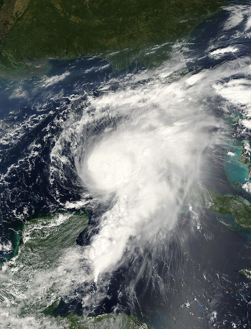
Impacts and Damage: Hurricane Fred primarily remained over open waters, causing minimal direct impact on land areas. However, prior to its formation as a tropical depression, the precursor to Fred brought moderate to heavy rainfall to the southern Cape Verde Islands. This rainfall led to flight cancellations, delays, and localized disruptions.
Due to its easternmost track, Hurricane Fred did not directly impact any heavily populated areas or cause significant damage to infrastructure. No deaths were reported as a result of the storm, and the cost of cleaning and rebuilding was minimal.
Preparedness and Mitigation Strategies: Although Hurricane Fred did not cause substantial damage, it is essential to be prepared for future hurricanes. If another hurricane with similar characteristics threatens landfall, the following measures are recommended:
- Stay Informed: Stay updated with the latest weather forecasts and warnings issued by local authorities and meteorological agencies. Pay attention to evacuation orders, storm surge advisories, and potential impact areas.
- Emergency Supplies: Maintain a well-stocked emergency kit that includes essential items such as non-perishable food, water, medications, flashlights, batteries, and a battery-operated radio.
- Evacuation Plan: Familiarize yourself with local evacuation routes and shelters. Have a plan in place for you and your family in case an evacuation order is issued.
- Secure Property: Trim trees, secure loose outdoor items, and reinforce doors and windows to minimize potential damage from strong winds. Consider investing in storm shutters or plywood to protect windows.
- Insurance Coverage: Review your insurance policies, particularly homeowners’ and flood insurance, to ensure adequate coverage in the event of a hurricane. Understand the terms, deductibles, and exclusions of your policies.
Interesting Fact: As a result of Hurricane Fred, it was observed that even hurricanes forming far to the east of the Caribbean islands can potentially have significant impacts if they intensify and track westward. This fact highlights the importance of monitoring and tracking tropical systems throughout their lifespan, regardless of their initial distance from land areas.
In conclusion, Hurricane Fred of the 2009 hurricane season demonstrated the potential for major hurricanes to form in the easternmost regions of the North Atlantic basin. While Fred did not directly impact heavily populated areas or cause significant damage, it serves as a reminder to remain prepared and vigilant during hurricane seasons, as even remote storms can intensify and pose a threat to coastal communities.
Please note that the information provided in this article is based on historical data and should not be considered as real-time information for current hurricane threats. Always rely on official sources and meteorological agencies for the most up-to-date and accurate information during an actual event.
Leave a Reply